Listen
The Rattlesnake Ridge landslide in Central Washington is moving at 1.6 feet per week. The area south of Yakima is on private land and next to Anderson Quarry where Columbia Asphalt operates.
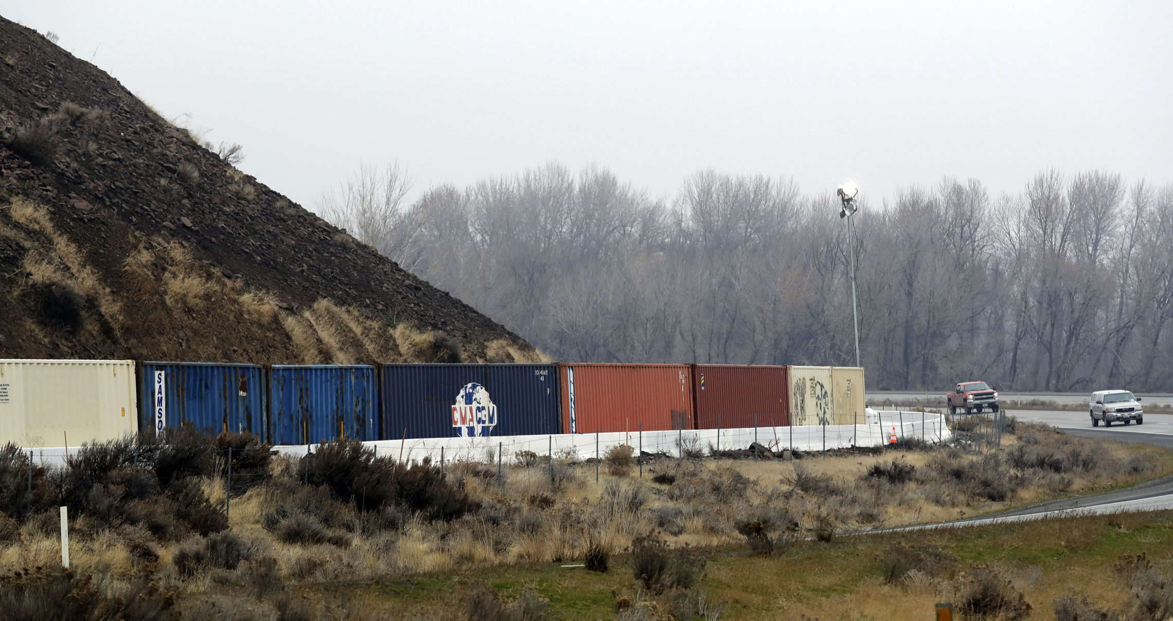
If it continues on its expected path, the slide threatens Interstate 82, a mobile home park, and possibly the Yakima River. Most people living under the ridge have evacuated.
The Washington Department of Natural Resources believes the slide will release in early March, but that’s just an estimate.
“The estimated size of the landslide is 4 million cubic yards and the quarry can hold about 1 million cubic yards,” said Jeff Emmons, director of Yakima County's Emergency Management office. “There’s still some uncertainty on exactly where it’s going to go but if you did the math, you would assume the quarry would be filled up with rocks.”
Emmons said that while Hawaii’s emergency response team might have frightened the public with a false alarm, Yakima County has an emergency alert system set up to prevent that from happening. The system sends messages to cell phones in the county using nearby cell towers. To prevent accidental alerts, the Yakima system uses manual key codes and can quickly retract messages if a mistake is made.
Copyright 2018 Northwest Public Broadcasting
Related Stories:

Residents Near Rattlesnake Ridge Still On High Alert Of Possible Landslide
Residents below Rattlesnake Ridge outside Union Gap are considering their next move if a slow-moving hillside in Yakima County collapses during the next several weeks. Read More » NWPB News January 9, 2018
Feds Prep For Yakima River ‘Worst Case Scenario’ At Rattlesnake Ridge
Emergency meetings are underway to discuss the threat of a possible landslide near Yakima. Dozens of federal, state, county and tribal officials are trying to work out a plan as this threat looms. Read More » Anna King January 5, 2018
Residents Weigh Options, Officials Scramble To Prep For Rattlesnake Ridge Landslide
There are about 50 residents in 15 houses and trailer homes on a crescent of land wedged in a depression between Interstate 82 and the hillside that’s cracking near them. According to measurements taken since October by the state and its consultant, the land above this community and Interstate 82 is starting to move more rapidly. Read More » Anna King January 4, 2018