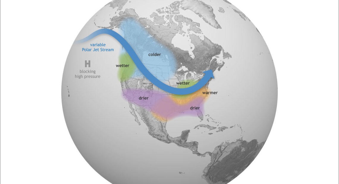
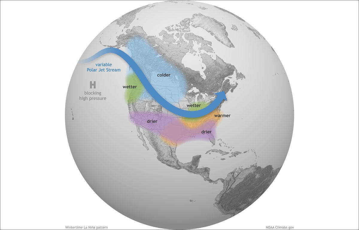
La Niña Exits Weather Stage As Spring Beckons
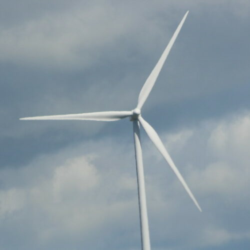
Washington council approves wind farm near the Tri-Cities, slashing turbine numbers
A controversial wind farm that was set to be the largest in Washington has been slashed nearly in half. (Credit: John McIntyre / Flickr Creative Commons) Listen (Runtime 1:06) Read… Continue Reading Washington council approves wind farm near the Tri-Cities, slashing turbine numbers
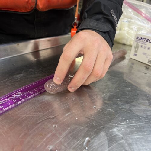
Pickle-shaped sea creatures popping up along the NW coast, why it’s important
Scientist Kris Bauer measures a pyrosome that was caught in a net aboard the Bell M. Shimada in May 2022. (Credit: Courtney Flatt, Northwest News Network) Listen (Runtime 0:59) Read… Continue Reading Pickle-shaped sea creatures popping up along the NW coast, why it’s important
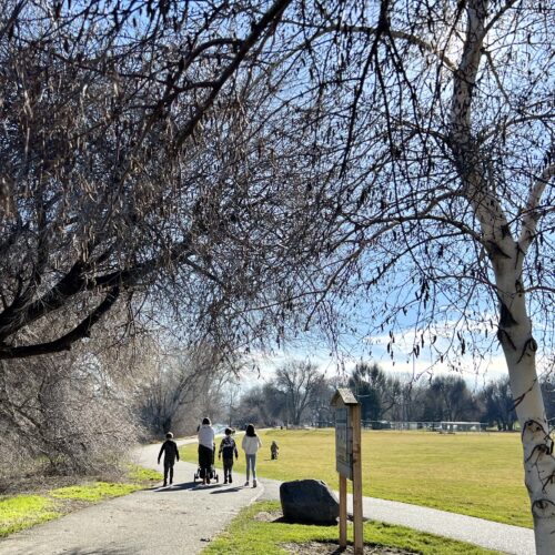
Study: as the climate changes, the desert Tri-Cities is actually getting cooler
People walk along a trail at Leslie Groves Park in Richland, Wash. (Credit: Courtney Flatt / Northwest News Network) Listen (Runtime 1:02) Read A new study has found – when it… Continue Reading Study: as the climate changes, the desert Tri-Cities is actually getting cooler