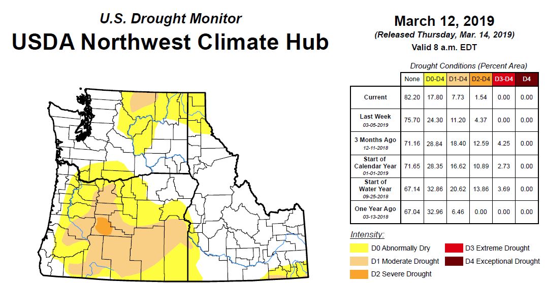
A Punch Of Late Winter Weather Means Diminished Drought Across The Northwest
Drought expected to plague farmers in the Yakima Valley, Kittitas areas this summer
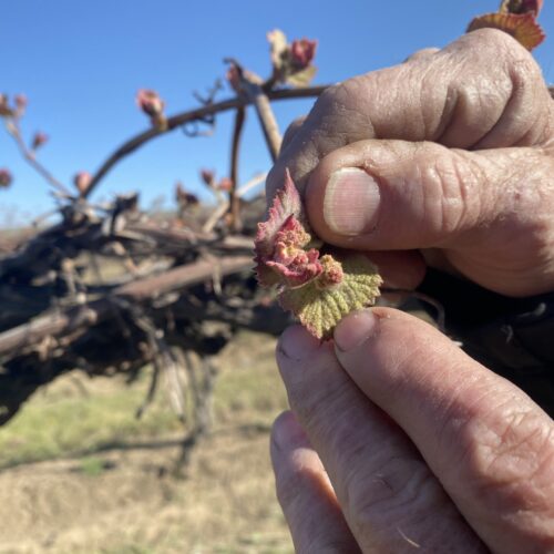
Jim Willard shows “bud break” on an old block of concord grapes eight miles north of Prosser, Washington. The baby leaves and buds start pushing out to become grown vines
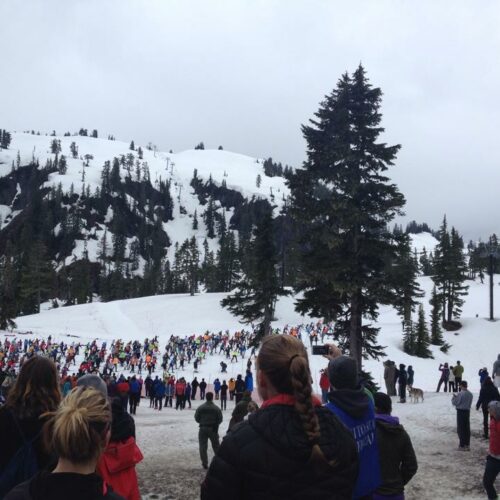
Nerves slippery for Washington’s Ski to Sea race
Cross country skiers line up at the start of the 2014 Ski to Sea race. (Credit: Courtney Flatt / Northwest News Network) Listen (Runtime 1:04) Read Snow-covered undulating trails will
Spring snowpack levels in North Idaho lowest in 40 years
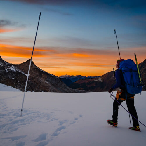
Erin Whorton, a hydrologist for the Natural Resources Conservation Service, measures snow on South Cascade Glacier in Washington. (Credit: Erin Whorton / NRCS) Listen (Runtime :58) Read The snowpack in