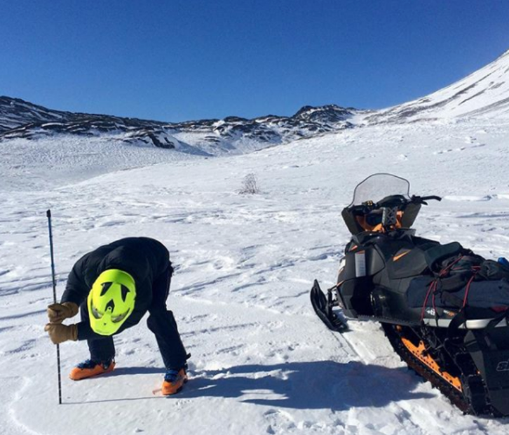
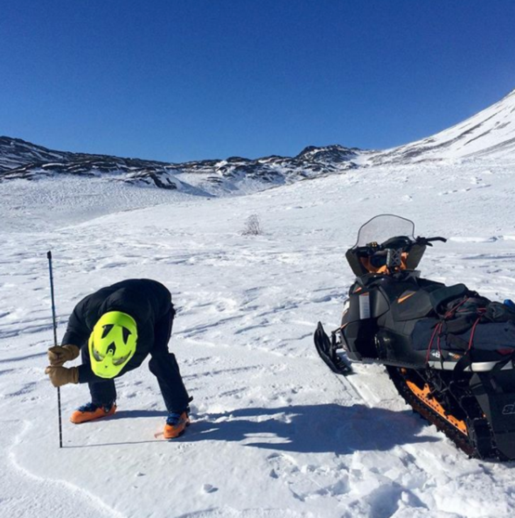
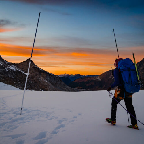
For much of the Northwest, snowpack is above normal. That’s a good sign this time of year, when snowpack usually reaches its peak.
Having enough snowpack is critical for spring and summer runoff that will supply water for irrigation and salmon runs. Thanks to big snows in January and February (which actually set records in some spots, like the North Cascades), snowpack is at 109% of normal in Washington. In Oregon, it’s at 105% of normal. And In Northern Idaho, snowpack is normal to above normal.
But that doesn’t mean everywhere has that much snow.
In Washington, state climatologist Nick Bond is concerned about lower slopes on the eastside of the Cascades into the Columbia Basin. Those areas are still facing a drought. Nothing that will hurt water supplies. But Bond says it could be bad news for wildfire season.
“Summer is just going to start that much earlier than usual. It means there’s a potential for that much longer of a fire season,” Bond said.
Bond said he feels “pretty good about (Washington’s) water supplies.”
He said it’s important to consider what will happen as the climate warms – and more snow is predicted to fall as rain, further reducing snowpack.
“We’re going to need to continue to take action and figure out how we can best handle what’s going to be happening,” Bond said.
North Idaho has seen normal amounts of precipitation so far this water year. Summer streamflow is expected to be “near normal,” according to NRCS hydrologist Danny Tappa.
In Oregon
This spring, parts of Oregon are also in a drought, even though the state as a whole saw above normal snowpack. Southwestern parts of the state remain in severe drought, while northeastern Oregon has above normal snowpack.
In southwestern Oregon, the total amount of precipitation since this fall is well below normal. That’s a big concern for Scott Oviatt, with the Natural Resources Conservation Service. He says it could lead to less water for irrigators and fish.
Forecasts for the next few months show above normal temperatures and equal or below normal chances of precipitation.
“Not a real good sigal, but there’s still time for change,” Oviatt said.
He worries about snow melting too fast, if temperatures increase too quickly.
“When (snowpack) comes out quickly, rapidly and early, then we run into water shortage situations much earlier in the summer than we normally encounter,” Oviatt said.
Throughout Oregon, Oviatt said, the water year (measured Oct. 1 through Sept. 30) is well below normal precipitation. Much of that is because of the severe drought in southwestern Oregon.
“That should influence these stream flows as we move into early spring and summer,” he said.
In northeastern Oregon, really warm temperatures could also be bad news. If the snowpack melts too quickly, it could cause flooding, like Umatilla County residents saw in February. Oviatt said NRCS and the National Weather Service provide a weekly update to emergency managers in the region as a precaution.