Listen
(Runtime 1:29)
Read
Rain, flooding, storms – all pretty standard for Western Washington but sometimes weather patterns spare some areas that have flooded before.
That was the case at the beginning of December, when Western Washington got so much rain that it caused flooding from the Stillaguamish River to the town of Rosburg.
Forecasters knew it would be a big event for the area, said Brent Bower, service hydrologist for the National Weather Service in the Seattle field office.
Despite the flooding nearby, the Nooksack River basin was mostly spared.
Why was that?
Bower explained how storms move across mountains: When moist air pushes up and over the mountains, precipitation falls along the mountaintops and as it comes down the other side, the air dries out. The area where that happens doesn’t get as much precipitation, which is called a rain shadow.
The Olympic Rain Shadow is a frequent phenomena, making places like Sequim a lot drier than other parts of Western Washington. The rain shadow doesn’t always extend that far but in early December it did.
How big that rain shadow is and where it falls can change, depending on the wind.
Scientists like Bower can forecast these impacts as storms approach.
“What actually happens does depend on a lot of very small details [that] can have huge impacts,” Bower said.
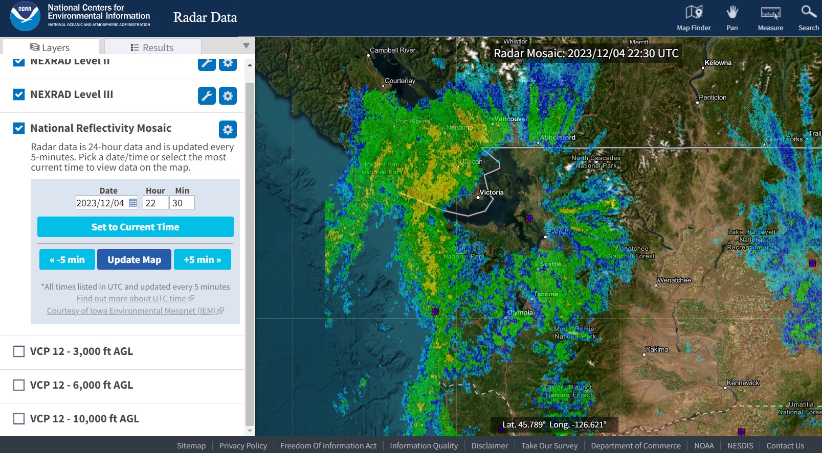
The National Oceanic and Atmospheric Administration radar shows these storm systems as they move in.
Gary Goodall is a basically semi-retired river and floods engineer for Whatcom County. He was paying attention to in the days leading up to the early December storm. Every storm season, Goodall said he monitors the forecasts to predict possibilities of flooding in the area.
One model Goodall was looking at, showed that the Skagit River was possibly going to experience moderate to major flooding, while there would be no flooding in the Nooksack River. Those river basins actually touch each other, though.
“Our river basin was just in the right position to benefit from the rain shadow,” Goodall said.
That was a relief to many in the area who were impacted by flooding in 2021.
Still, when a weather event is forecasted, such as an atmospheric river, “That's the time to start paying attention,” Bower said.