![A new app from the U.S. Forest Service provides trail maps and updates on weather, wildfires and road conditions for national forests and grasslands. CREDIT: U.S. FOREST SERVICE / ITUNES](https://www.nwpb.org/wp-content/uploads/2018/05/usfs_app.jpg)
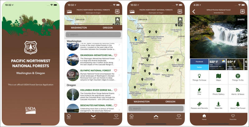
New Forest Service App For Northwest Is First Of Its Kind
Listen
If you’re looking to get outside on Memorial Day weekend, you might first check your phone. The U.S. Forest Service launched a mobile app this week that provides trail maps and updates on wildfires and road conditions for all of the Pacific Northwest’s national forests, a national grassland and one scenic area.
According to the Forest Service, 15 million visitors flock to National Forests in Oregon and Washington each year and half of them use a mobile device to access maps and other recreation information.
But the Forest Service’s website isn’t mobile friendly. So, the agency decided to develop an app that compiles information for all of the public lands it manages in the region. According to a press release, it’s the agency’s first mobile app that covers an entire region.
The app provides details on everything from picnic areas to swimming holes. Users can get current weather reports, find information about wildfires, road and trail conditions and scroll through a photo gallery.
Currently, the app is only available to Apple iOS users on iPhones and iPads. The Forest Service plans to release an Android version “very soon.”
Copyright 2018 Northwest News Network
Related Stories:
![A man dressed in black sits on a gray rock. There is snow behind him. He is looking at a black robot in the shape of a dog. Behind the man and the robot is the summit of Mount Hood.](https://www.nwpb.org/wp-content/uploads/2024/07/062624_DogRobots-Dan-spirit-hood-500x490.jpg)
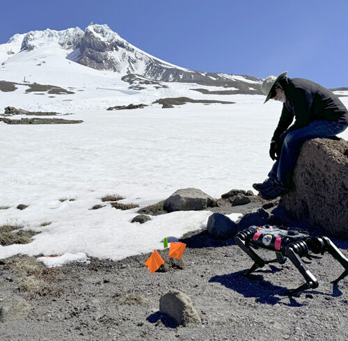
How a dog-like robot is training for space exploration on Mount Hood
Dan Koditschek, with the University of Pennsylvania, watches Spirit the robot as it walks from rocks to snow on Mount Hood. (Credit: Courtney Flatt / NWPB) Listen (Runtime 4:20) Read
![A woman in black snow pants and a yellow jacket with a big blue backpack measures snow with a large rod on top of a mountain covered in snow. An orange sunset is visible in the distance.](https://www.nwpb.org/wp-content/uploads/2024/03/DSC_9500-500x500.jpg)
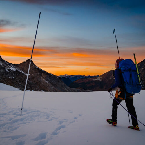
Spring snowpack levels in North Idaho lowest in 40 years
Erin Whorton, a hydrologist for the Natural Resources Conservation Service, measures snow on South Cascade Glacier in Washington. (Credit: Erin Whorton / NRCS) Listen (Runtime :58) Read The snowpack in
![Gary Chastagner stands near a green fir tree while wearing a black WSU jacket and jeans.](https://www.nwpb.org/wp-content/uploads/2023/12/AP23353597060352-500x500.jpg)
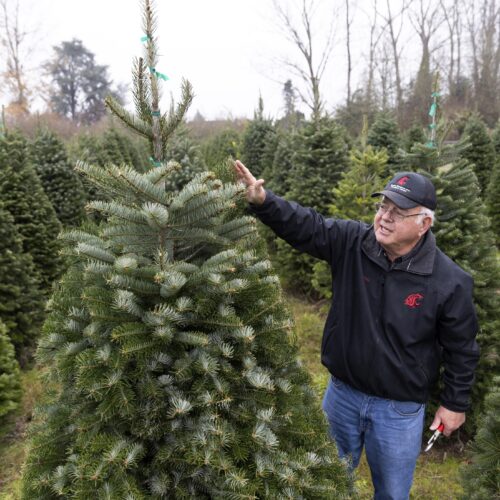
“Dr. Christmas Tree” working to prevent disease in Northwest conifer trees
Gary Chastagner, a Washington State University professor called “Dr. Christmas Tree” shows an example of a less-desirable tree due to fewer top branches, grown in a small plantation of Turkish