Still Sliding, Just Not So Fast: What’s Up With The Rattlesnake Ridge Landslide One Year Later
Yakima County Closes Road Near Rattlesnake Ridge Indefinitely
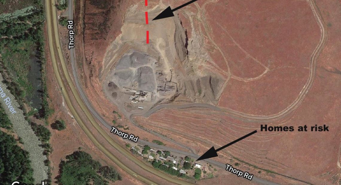
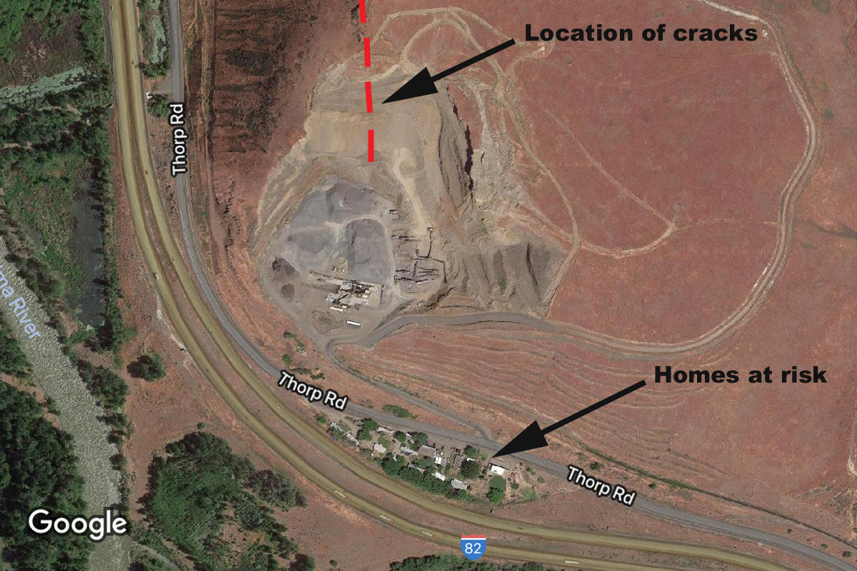
Yakima County Commissioners voted this week to officially close a road at the base of the slow-moving Rattlesnake Ridge landslide in Union Gap.
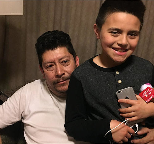
For Displaced Rattlesnake Ridge Residents, Emergency Goes On As They’re Told To Return Home
The emergency is over for now at Rattlesnake Ridge near Yakima. The state says a major, sudden landslide is no longer imminent, and Yakima County has lifted its evacuation order and told residents they can move back home. But that’s easier said than done.
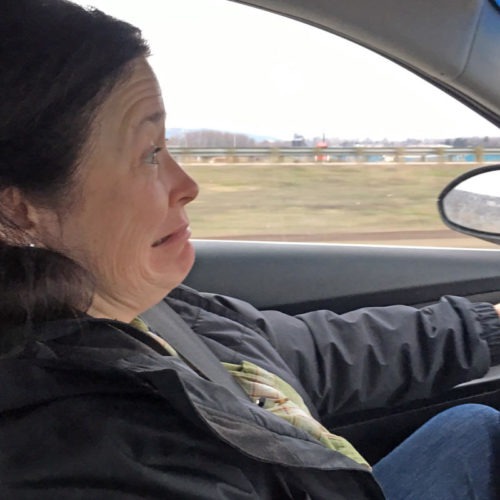
Nervous Drivers Still ‘Shooting The Gap’ At Rattlesnake Ridge Landslide
The emergency seems to be over for now at the slow-moving landslide at Rattlesnake Ridge near Yakima. The state has taken down warning signs on the highway below. But for some, the drive is still nerve wracking. They’ve coined a phrase for driving quickly past the slide: “Shooting the Gap.”